Loulé
Hillside Sanctuary sits inside the 2,427 km² Algarvensis Geopark territory. Its three pillars — education, geoconservation, geotourism — align almost word-for-word with our own positioning, and we identify Hillside as a Geopark-aligned destination. The Geopark strategy was authored by the CinTurs research team at the University of Algarve.
— Hillside Sanctuary Team
UNESCO Global Geopark covering Loulé, Silves and Albufeira — 2,427 km² of central Algarve including a 330-million-year geological record. Three working pillars: education, geoconservation, geotourism. Designated by UNESCO in April 2026.
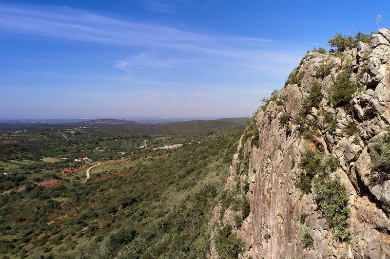
The Algarvensis UNESCO Global Geopark is the central Algarve’s newest internationally-recognised conservation framework, designated by UNESCO in April 2026. The territory spans 2,427 km² across the municipalities of Loulé, Silves and Albufeira and encompasses a geological record stretching back 330 million years, from Carboniferous schist and greywacke to Cretaceous limestones and the ancient karst systems of the Barrocal.
Like all UNESCO Global Geoparks, Algarvensis works on three integrated pillars: education (school programmes, interpretive trails, geological literacy), geoconservation (protection of geosites, biodiversity corridors, traditional rural landscapes) and geotourism (sustainable visitor experiences that connect people to the territory’s deep time). The strategy was authored by the CinTurs research team at the University of Algarve and was singled out by UNESCO for its clarity and regional embedding.
Hillside Sanctuary in São Marcos da Serra (Silves) sits squarely inside the Geopark territory. We position our project as Geopark-aligned across our guest-facing communications and our PEPAC funding applications, and we are actively working with the Geopark team and CinTurs to formalise that alignment.